
The most important rivers in Peru originate in the Andes and flow in three different directions: toward the Pacific Ocean, toward the Amazon, and toward Lake Titicaca. This unique geography makes the country one of the most river-rich territories on the continent, with waterways ranging from icy streams in the puna to massive, navigable rivers in the heart of the jungle.
In this guide, we’ve compiled the 8 rivers with the greatest geographical, cultural, and tourist significance in the country. For each one, you’ll find its location, length, a verified fun fact, and the activities you can enjoy if you decide to visit.
What are the most important rivers in Peru?
Before exploring the list, it is worth understanding the scale of Peru’s river system. Rather than publishing a fixed total for every river and tributary, Peru’s National Water Authority organizes the country into 159 hydrographic basins distributed across the Amazon, Pacific and Lake Titicaca drainage regions. Among the most important rivers in Peru are the Amazon, Ucayali, Marañón, Urubamba, Madre de Dios, Tambopata, Mantaro and Colca, which support transportation, agriculture, energy production, biodiversity and local communities.
- Amazon River
- Ucayali River
- Marañón River
- Urubamba River (Vilcanota)
- Madre de Dios River
- Tambopata River
- Colca River (Majes-Camaná)
- Mantaro River
You might be interested: Traditional costumes of Peru
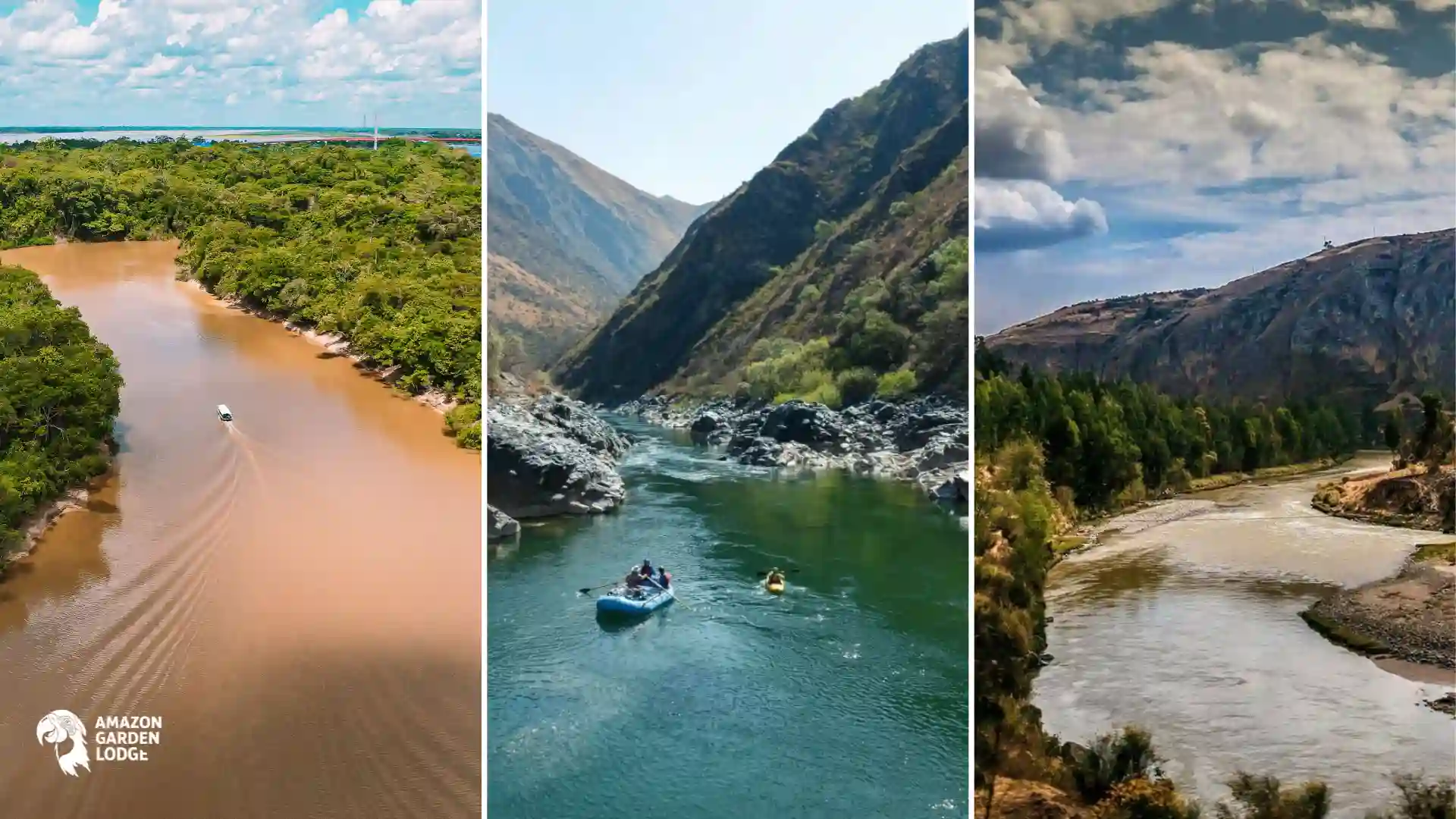
8 Top rivers in Peru
These eight top rivers in Peru stand out for their natural beauty, cultural importance and role in shaping the country’s Amazonian and Andean landscapes. Each section includes key facts, interesting details and practical information for travelers.
1. Amazon River
The Amazon River originates in Peru and, along with the Nile, is one of the two rivers vying for the title of the world’s longest, with an estimated length of more than 6,400 km to its mouth in Brazil. Its Peruvian stretch runs through the Loreto region and passes through Iquitos, the world’s largest city without road access.
The exact source of the Amazon has been a subject of scientific debate for decades. For years, it was believed to originate at the snow-capped Mismi Mountain in Arequipa, near the Colca Canyon. More recent studies place its uppermost source in the Mantaro River basin, in the Central Highlands. Both theories coexist today in geographical literature.
What to do and how to get there
From Iquitos, multi-day river cruises are organized, with stops at the Pacaya Samiria National Reserve and indigenous communities. The best time to cruise is between June and October, during the dry season. You can reach Iquitos by direct flight from Lima.
You might be interested: Q’eswachaka Bridge
2. Ucayali River
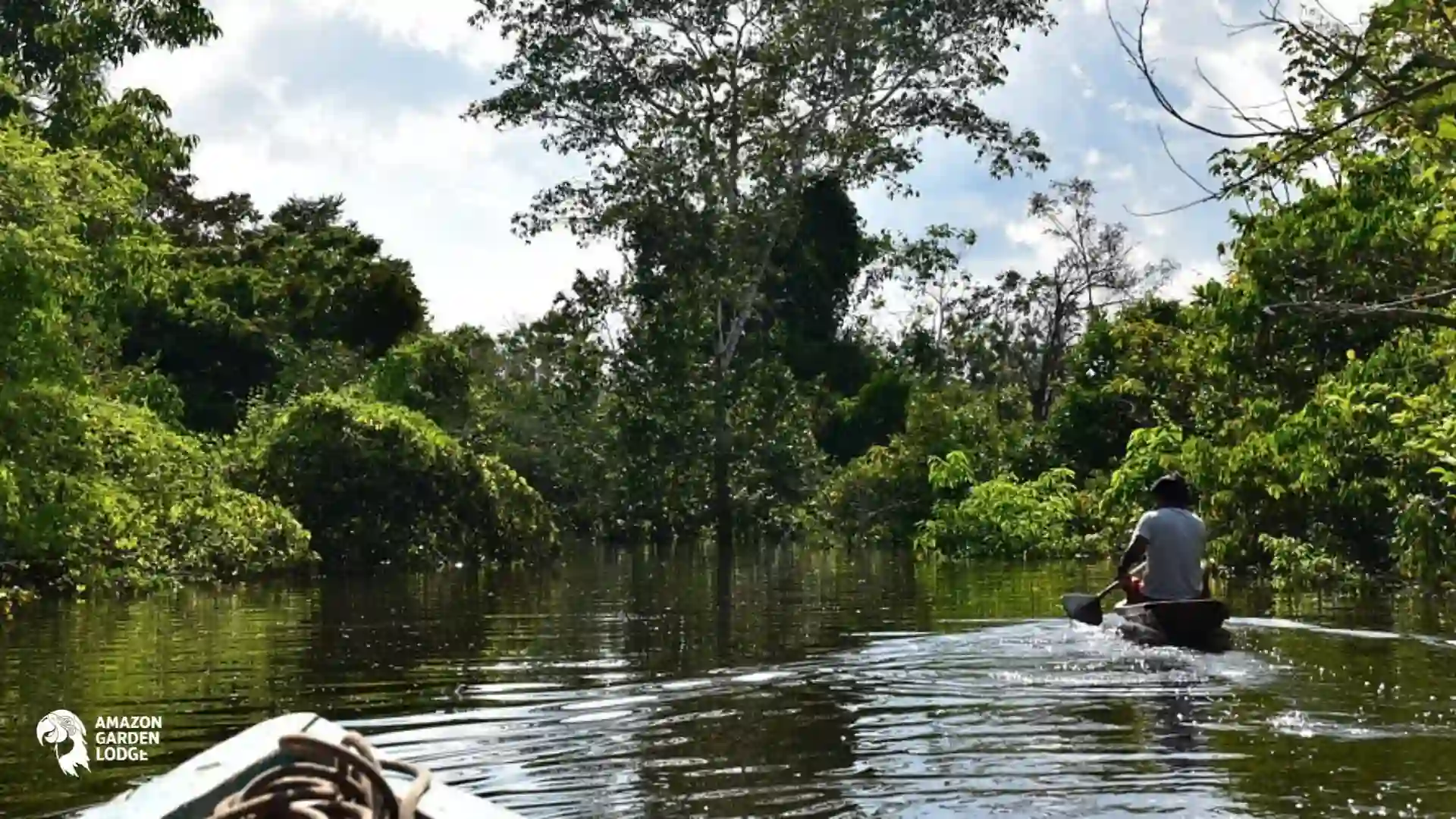
The Ucayali River begins near the city of Atalaya, where the Tambo and Urubamba rivers meet in Peru’s eastern rainforest. From there, it flows north through the regions of Ucayali and Loreto before joining the Marañón River near Nauta. This confluence is generally recognized as the point where the Amazon River formally begins.
Published measurements of the Ucayali vary because some calculations include only the river from the Tambo–Urubamba confluence, while others trace the entire headwater system. The Ucayali itself is generally estimated to run for approximately 1,600 to 1,770 kilometers, or about 995 to 1,100 miles. When the Apurímac–Ene–Tambo headwater system is included, the total distance reaches roughly 2,670 kilometers, or 1,660 miles.
The river crosses a vast floodplain filled with islands, wetlands, oxbow lakes and channels that can change position over time. These seasonal changes help renew the surrounding soil and support fishing, agriculture and transportation for numerous riverside and Indigenous communities.
The lower Ucayali is also connected to the immense wetland systems surrounding the Pacaya Samiria National Reserve. Its aquatic environments provide habitat for species such as river dolphins, giant river otters, manatees, caimans and an extraordinary variety of fish.
Things to do and how to get there
The Ucayali is one of the most important navigable waterways in the Peruvian Amazon. Travelers can take multi-day river journeys from Pucallpa toward Iquitos passing fishing villages, forest settlements and large areas that cannot be reached by road.
These trips may be offered on expedition vessels, regional passenger boats or cargo boats with basic passenger facilities. Travel time and comfort vary considerably, and water levels can affect schedules, navigation channels and access to smaller tributaries.
Pucallpa is the main gateway to the river and can be reached by air from Lima. It is also connected to central Peru by the Federico Basadre Highway. Because long-distance river transportation is highly dependent on weather and water conditions, travelers should verify departure times locally and use established operators.
You might be interested: T’aqrachullo
3. Marañón River
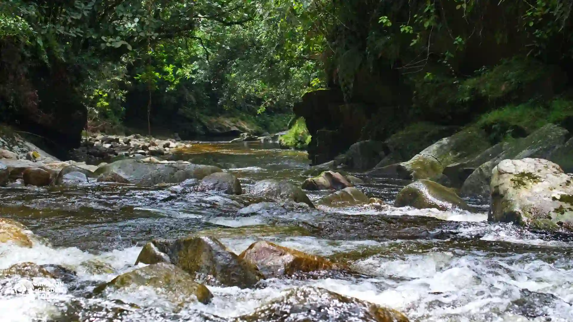
The Marañón River is one of the principal headwaters of the Amazon. It rises in the high Andes of central Peru and travels through a dramatic sequence of mountain valleys, dry inter-Andean landscapes, cloud forests and lowland rainforest before meeting the Ucayali near Nauta.
Its length is commonly estimated at approximately 1,400 kilometers, or 870 miles, although some measurements place it closer to 1,700 kilometers depending on the selected source. Its drainage basin covers roughly 362,000 square kilometers and is one of the largest sub-basins in the Amazon system.
The river and its tributaries influence several regions, including Huánuco, Áncash, La Libertad, Cajamarca, Amazonas and Loreto. In the upper basin, the Marañón flows between some of the highest sections of the Andes. Farther east, it passes through the Pongo de Manseriche before entering the flatter Amazonian plain.
The upper Marañón cuts through a vast canyon system where the vertical difference between the river and surrounding peaks can approach 3,000 meters, or about 9,840 feet. This makes sections of the Marañón Canyon comparable in scale to some of the world’s most imposing river gorges.
Things to do and how to get there
The upper Marañón is known internationally among experienced rafters and expedition kayakers. Multi-day trips may include technical rapids, remote campsites, desert-like canyon scenery and long stretches without road access. These expeditions require specialized guides, safety equipment and careful planning.
Access depends on the selected section. Some rafting routes begin in areas reached from Cajamarca, Chachapoyas, Bagua or Jaén. For lower-river journeys, travelers may leave from Yurimaguas, descend the Huallaga River and then enter the Marañón on the way toward Nauta or Iquitos.
In the Amazonian section, boat trips provide opportunities to visit riverside and Indigenous communities, observe wildlife and understand how rivers function as the region’s main transportation network. Conditions are rustic outside the larger cities, so responsible travel with an experienced local operator is strongly recommended.
4. Urubamba River, or Vilcanota River
The Urubamba River is known as the Vilcanota in its upper course. It begins in the Andes near the La Raya Pass, between Cusco and Puno, and flows for approximately 724 kilometers, or 450 miles. It eventually joins the Tambo River to form the Ucayali.
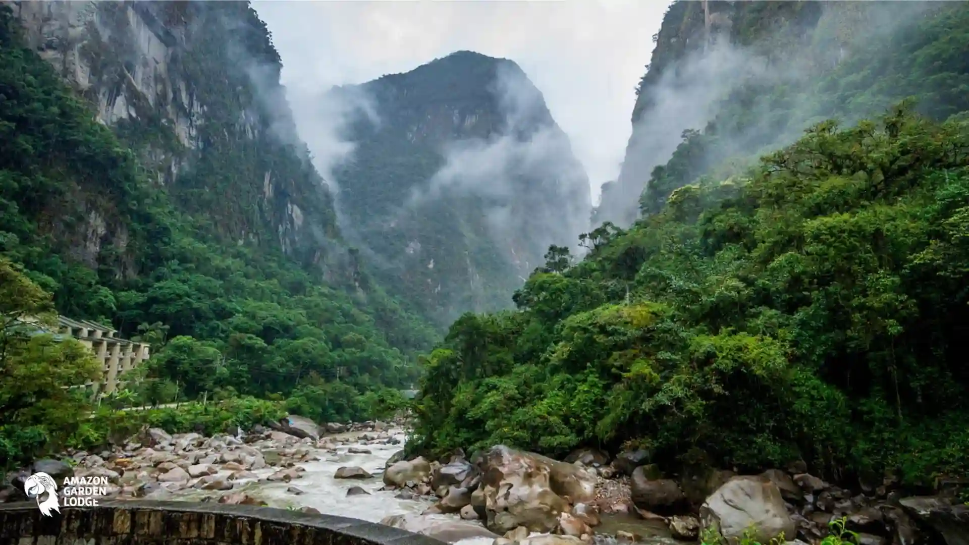
Along its journey, the river passes through the southern highlands, the Sacred Valley of the Incas, the deep gorge below Machu Picchu and the tropical forests of La Convención. Few rivers in Peru connect such a wide variety of landscapes, from high-altitude grasslands to humid Amazonian forest.
The river supported agricultural settlements long before the Inca period. Its water was used to irrigate terraces and fertile valley floors where communities cultivated corn, potatoes, quinoa and other Andean crops. Many of these agricultural landscapes remain visible around Pisac, Calca, Urubamba and Ollantaytambo.
In Andean cosmology, the Milky Way was understood as a celestial river called Mayu. The Vilcanota was associated with this sacred connection between water, earth and the night sky, reflecting the broader Inca belief that the terrestrial and celestial worlds formed part of one living system.
The Quechua name Willkamayu is commonly interpreted as “sacred river.” Its importance was therefore not only agricultural or practical. The waterway formed part of a cultural landscape filled with temples, agricultural terraces, ceremonial sites and mountains considered sacred.
Things to do and how to get there
The Urubamba is among the most visited rivers in Peru. The train journey from Ollantaytambo to Machu Picchu follows the river through a progressively narrower valley, offering views of mountains, agricultural terraces and cloud forest.
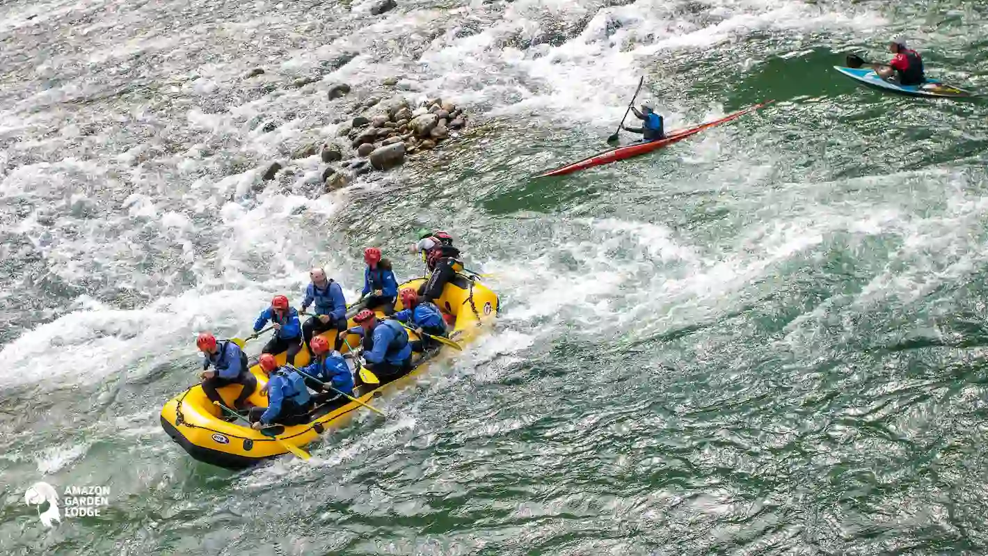
Rafting is available on selected sections near Cusco, Pisac, Urubamba and Ollantaytambo. The difficulty of the rapids changes according to the route, season and water level, making it important to choose an authorized operator that provides helmets, life jackets and qualified guides.
Travelers normally fly from Lima to Cusco and continue by road into the Sacred Valley. Pisac, Urubamba and Ollantaytambo are accessible by bus, taxi or private transportation. Trains to Machu Picchu depart from several stations, depending on the service and season.
5. Madre de Dios River
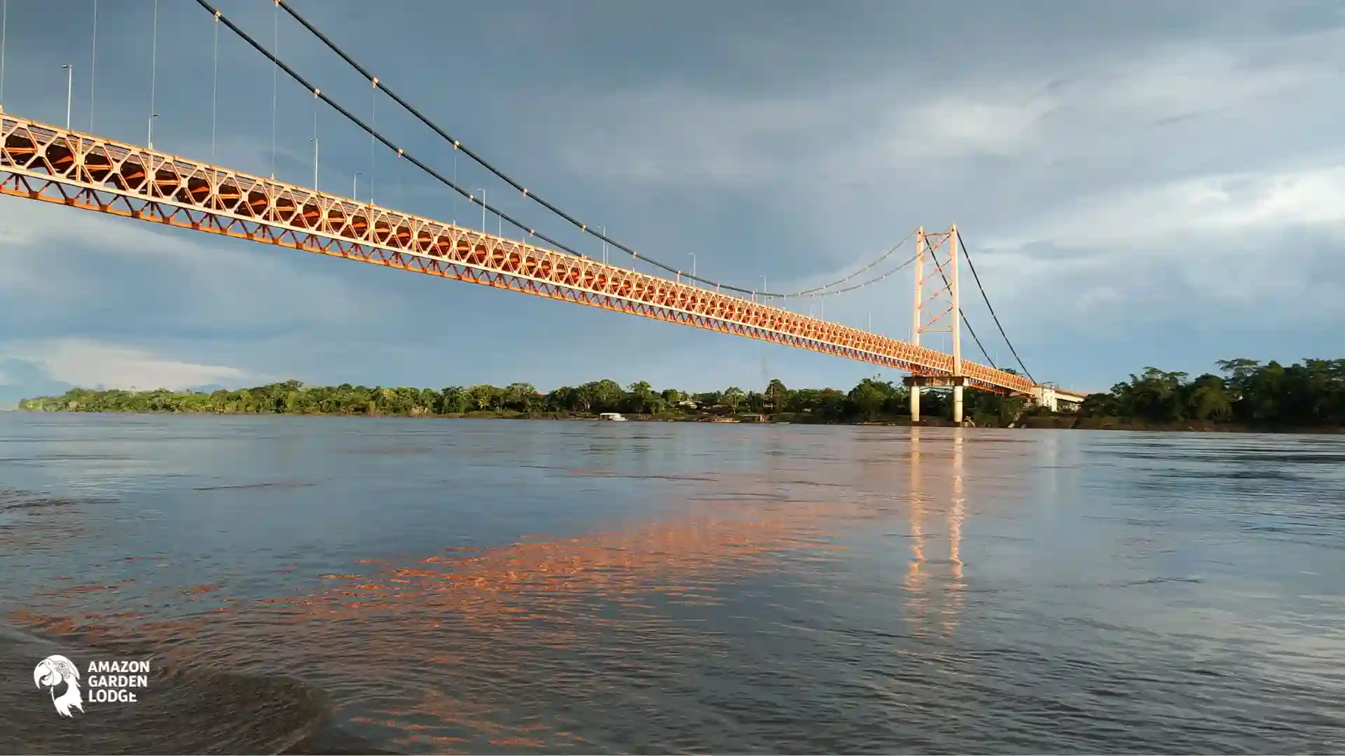
The Madre de Dios River begins in the eastern Andes of southeastern Peru and flows through the region that shares its name before entering Bolivia. The complete river is approximately 1,150 kilometers, or 715 miles, long.
In Bolivia, the Madre de Dios joins the Beni River. Its waters later become part of the Madeira River system, one of the Amazon’s largest tributary networks. Therefore, the Madre de Dios River itself does not flow through Brazil under the same name, although its waters eventually reach the Brazilian Amazon through the Madeira.
The river receives water from important tributaries such as the Manu, Las Piedras, Inambari, Tambopata and Heath rivers. Together, these waterways drain an immense area that includes Andean foothills, lowland rainforest, wetlands and protected natural areas.
Puerto Maldonado, located near the confluence of the Madre de Dios and Tambopata rivers, is widely promoted as Peru’s Biodiversity Capital. The surrounding forests contain exceptionally high numbers of birds, mammals, reptiles, amphibians, butterflies and plant species.
The river is essential for transportation because many ecolodges, research stations and communities cannot be reached directly by road. Boats are used to carry residents, visitors, building materials, food and agricultural products.
Things to do and how to get there
The Madre de Dios River is a major gateway to rainforest experiences near Puerto Maldonado. Popular activities include wildlife observation, birdwatching, night walks, canopy towers and boat trips through forested waterways.
Lake Sandoval is one of the best-known attractions in the area. Visitors usually travel by boat along the Madre de Dios River and then continue on foot through the forest, where they may spot monkeys, caimans, waterbirds and, with some luck, giant river otters. Travelers planning longer Manu National Park trips can also use Puerto Maldonado as part of a broader Amazon itinerary, depending on the route and tour operator.
Puerto Maldonado can be reached by air from Lima or Cusco and by road along the Interoceanic Highway. From the city, most nature lodges arrange their own boat transfers. Travel time may range from less than an hour to several hours, depending on the lodge and river conditions.
6. Tambopata River
The Tambopata River begins in the high Andes near the Peru–Bolivia border, at elevations of approximately 3,900 meters, or 12,795 feet. It flows through parts of Puno and Madre de Dios before joining the Madre de Dios River at Puerto Maldonado.
Its length is generally estimated at between 350 and 402 kilometers, or approximately 217 to 250 miles. Variations are caused by differences in the identification of its uppermost source. Most of the river lies in Peru, although its headwaters are connected to the border area and the Bolivian Andes.
The river passes through or alongside two major protected landscapes: Bahuaja Sonene National Park and Tambopata National Reserve. These areas conserve lowland rainforest, foothill forest, wetlands and the Pampas del Heath, one of Peru’s few examples of humid tropical savanna.
Things to do and how to get there
Visitors can stay in rainforest ecolodges, take guided jungle walks, navigate oxbow lakes, visit observation towers and travel by boat to clay licks. Wildlife activity is usually greatest early in the morning, so many excursions begin before sunrise.
Puerto Maldonado is the main entry point. Travelers generally arrive by air from Lima or Cusco and then continue by road and boat. Lodges located deeper inside the reserve may require several hours of river travel.
The most comfortable visiting period is usually the drier season, although the rainforest receives rain throughout the year. Visitors should bring lightweight clothing, rain protection, insect repellent and suitable walking shoes, and should only enter protected sectors with authorized guides or operators.
7. Colca River, or Majes–Camaná River
The Colca River begins in the highlands of the Arequipa region, near Callalli. As it flows downstream, it is known first as the Colca, then as the Majes and finally as the Camaná before reaching the Pacific Ocean near the city of Camaná.
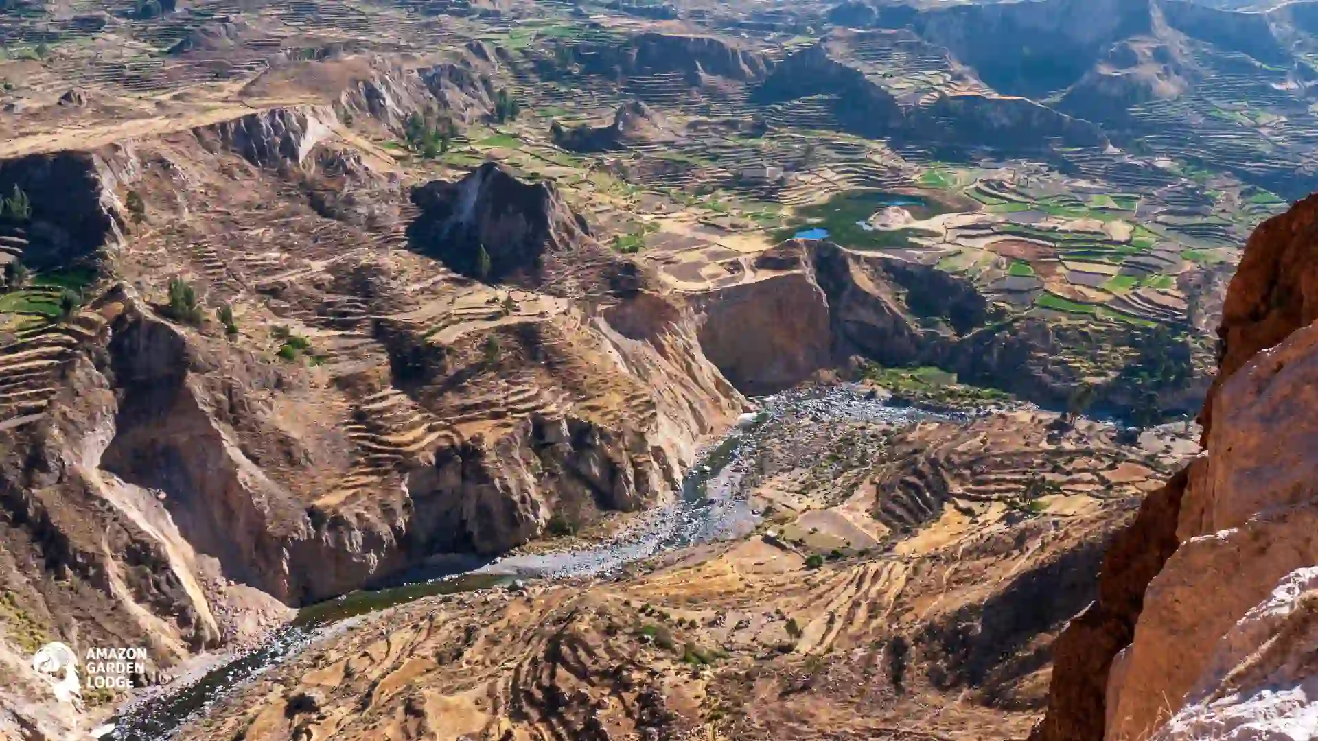
This continuous river system passes through high-altitude wetlands, agricultural valleys, volcanic landscapes and one of the world’s deepest canyon systems. The river has supported communities for centuries by providing water for crops, livestock and extensive agricultural terraces.
The Colca Valley is home to communities with Collagua and Cabana cultural traditions. Many towns preserve distinctive clothing, festivals, churches and pre-Inca farming systems, making the valley both a natural and cultural destination.
Erosion by the Colca River, combined with the geological uplift of the Andes, helped form Colca Canyon. Measurements vary depending on the points used, but the vertical relief exceeds 3,200 meters, or roughly 10,500 feet, in some areas. It is therefore considered one of the deepest canyons in the world.
Comparisons with the Grand Canyon should be treated carefully because canyons can be measured in different ways. Nevertheless, the difference in elevation between the Colca riverbed and nearby mountain summits is significantly greater than the maximum depth commonly cited for the Grand Canyon.
The canyon is also one of the best-known places in Peru for observing the Andean condor. These enormous birds use rising columns of warm air to glide above the canyon, particularly around viewpoints such as Cruz del Cóndor.
Things to do and how to get there
Visitors can hike into the canyon, explore agricultural terraces, visit traditional towns and observe condors from panoramic viewpoints. Trekking routes range from short walks to demanding two- or three-day descents that include steep elevation changes.
Rafting is available on selected parts of the river. The best-known route near Chivay includes rapids ranging from beginner-friendly sections to more challenging Class IV waters, depending on conditions.
Chivay, the principal tourism center in the valley, is reached by road from Arequipa. The journey generally takes between three and four hours. Because the route crosses high mountain passes, travelers should allow time to adjust to the altitude before beginning strenuous hikes.
8. Mantaro River
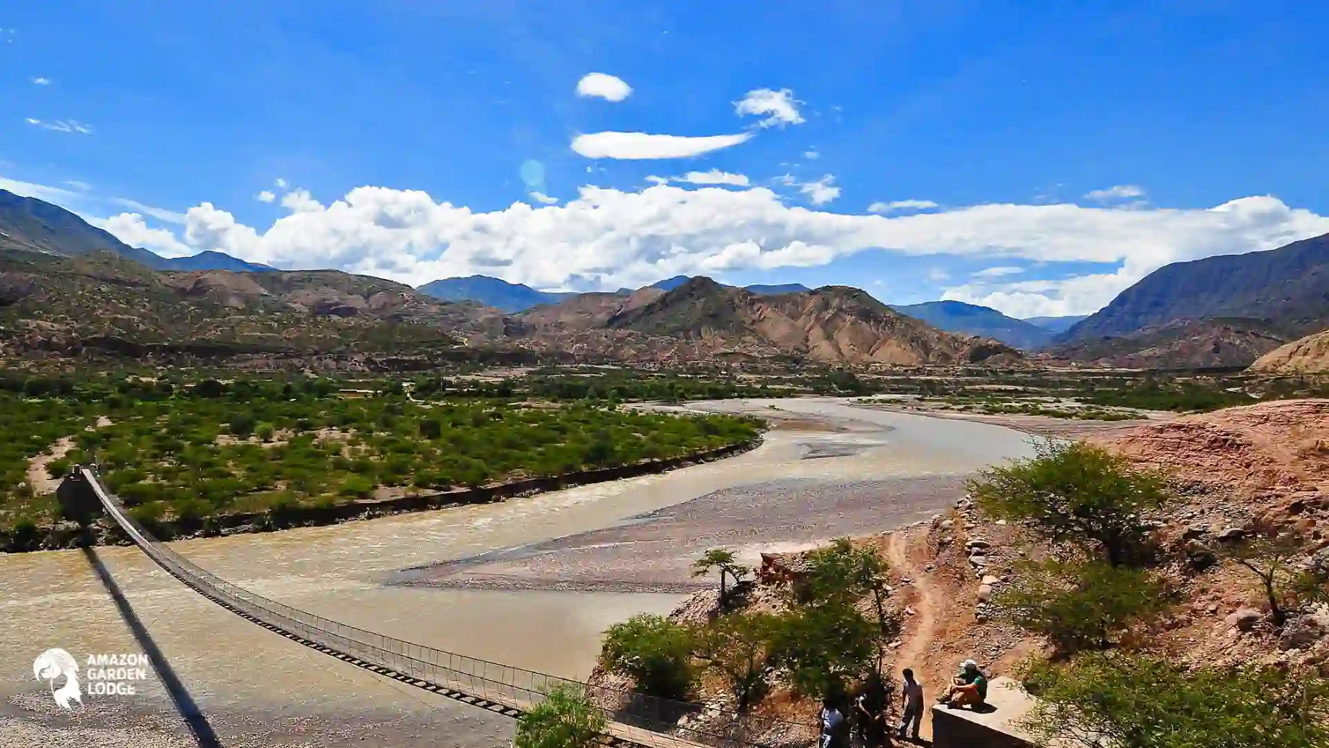
The Mantaro River begins at Lake Junín, also known as Lake Chinchaycocha, at an elevation of approximately 4,080 meters, or 13,385 feet. It follows a distinctive U-shaped course through central Peru, crossing or influencing the regions of Pasco, Junín, Huancavelica and Ayacucho.
After traveling approximately 724 kilometers, or 450 miles, the Mantaro joins the Apurímac River to form the Ene River. Its waters then continue through the Tambo and Ucayali systems toward the Amazon.
The river forms the fertile Mantaro Valley between Jauja and Huancayo. Its broad agricultural lands produce potatoes, corn, vegetables and other crops for regional markets and the city of Lima. This productivity has made the valley an important agricultural center since pre-Columbian times.
The steep elevation changes along the river are used to generate hydroelectric power. The Mantaro Hydroelectric Complex includes the Santiago Antúnez de Mayolo plant, commonly known as the Mantaro Hydroelectric Plant, which has an installed capacity of approximately 798 megawatts.
The river is therefore important not only for agriculture and local communities but also for Peru’s national electricity system. Its flow is regulated in part by infrastructure near Lake Junín and by facilities associated with hydroelectric generation.
At the same time, the basin faces environmental challenges associated with mining, untreated wastewater, solid waste and heavy metals. These pressures are particularly serious in industrial and mining areas upstream from the agricultural valley.
Things to do and how to get there
The Mantaro Valley is known for its agricultural landscapes, traditional food, music, dances and handicrafts. Visitors can explore towns specializing in textiles, silverwork, carved gourds, ceramics and woodwork.
Popular cultural stops include Huancayo, Jauja, Concepción, Hualhuas, San Jerónimo de Tunán and Cochas Chico. Local festivals such as the Huaylarsh, Tunantada and Huaconada reflect the strong cultural identity of the central Andes.
Huancayo and the Mantaro Valley can be reached by bus or private transportation from Lima. Travelers who prefer to fly can use Francisco Carlé Airport in Jauja and continue by road to Huancayo. Commercial flights at Jauja resumed after airport maintenance work and serve the wider central highlands.
Tips for visiting rivers in Peru
Before visiting the rivers in Peru, check the weather and water conditions in the region you plan to explore. River levels can change significantly between the rainy and dry seasons, affecting boat routes, rafting difficulty and access to nearby trails.
For Amazon destinations, bring lightweight clothing, insect repellent, sunscreen and a waterproof bag for electronics. In Andean areas, pack warm layers and allow time to adjust to the altitude before hiking or joining outdoor activities.
Always choose authorized guides and reliable tour operators, especially for rafting, long boat trips or visits to remote communities. Respect local customs, avoid leaving waste behind and follow conservation rules to help protect Peru’s rivers and surrounding ecosystems.
Frequently asked questions about the Major Rivers in Peru
What are three major rivers in Peru?
Three of the major rivers are the Ucayali, Marañón and Amazon rivers. The Ucayali and Marañón meet near the town of Nauta, in the Loreto region, forming the section officially known as the Amazon River. Together, they create one of the country’s most important transportation and freshwater systems.
What is the most famous river in Peru?
The Amazon River is the most famous river in Peru because of its global importance, enormous water volume and extraordinary biodiversity. For international travelers visiting the Andes, however, the Urubamba River is also widely recognized because it flows through the Sacred Valley and below the mountains surrounding Machu Picchu.
What are the major rivers in Peru?
The major rivers in Peru include the Amazon, Ucayali, Marañón, Huallaga, Urubamba, Madre de Dios, Tambopata, Putumayo, Mantaro and Apurímac. Most of Peru’s largest rivers flow east from the Andes into the Amazon Basin, while shorter rivers on the western side of the country drain toward the Pacific Ocean.
These waterways are important for transportation, fishing, agriculture, hydroelectric power and wildlife conservation. In many Amazonian areas where roads are limited or nonexistent, rivers function as the main routes connecting cities, villages and Indigenous communities.
What is the longest river in Peru?
The Ucayali is commonly identified as the longest river system located primarily within Peru. The river itself, measured from the meeting of the Tambo and Urubamba rivers to its confluence with the Marañón, is approximately 1,600 kilometers, or 995 miles, long.
When its most distant headwaters are included through the Apurímac–Ene–Tambo system, its total length reaches approximately 2,700 kilometers, or 1,678 miles. This is why different sources may provide different measurements for the Ucayali.
Where does the Amazon River begin in Peru?
The river officially called the Amazon begins near Nauta, where the Ucayali and Marañón rivers meet. However, identifying the Amazon’s most distant geographical source is more complicated.
For many years, the headwaters of the Apurímac River near Nevado Mismi were considered the farthest source. A later study proposed that the Mantaro River begins approximately 75 to 92 kilometers, or 47 to 57 miles, farther upstream. Because the answer changes according to the measurement method used, the exact source remains a subject of geographical debate.
Which rivers are suitable for rafting?
Popular rafting rivers in Peru include the Urubamba and Apurímac near Cusco, the Colca–Majes system in Arequipa and selected sections of the upper Marañón. These rivers offer everything from accessible day trips to demanding multi-day expeditions through isolated canyons.
The difficulty of the rapids varies according to the section, season, rainfall and water level. Beginners should choose commercially operated routes with moderate rapids, while the Apurímac and upper Marañón are generally more appropriate for experienced rafters traveling with specialized guides.
Which rivers are navigable?
The Amazon, Ucayali, Marañón and Madre de Dios are among Peru’s most important navigable rivers. Passenger boats, cargo vessels, small motorboats and tourism cruises use these waterways to connect destinations such as Iquitos, Nauta, Pucallpa and Puerto Maldonado.
Navigation conditions vary throughout the year. Higher water can provide access to flooded forests and smaller channels, while lower water may expose beaches and make certain routes shallower or more difficult to navigate.
When is the best time to visit the rivers in Peru?
There is no single best season because conditions differ between the Amazon and the Andes. In the Peruvian Amazon, the rainier period generally occurs from November through April, raising river levels and allowing boats to enter some flooded forest areas. Lower-water conditions during the remaining months can reveal river beaches and make certain hiking trails easier to access.
Before your visit to the Rivers in Peru
Each of the major rivers in Peru offers a different way to experience the country, from Amazon rainforest cruises to rafting in deep Andean canyons. Before booking, check the seasonal conditions of the specific region, since rainfall and changing water levels can affect navigation, wildlife viewing, trail access and rafting difficulty. Always travel with an established local operator for remote boat journeys or whitewater activities.

